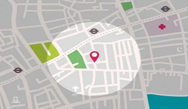
Purva Trivante location is at S. Medihalli, near Sarjapura–Attibele Road, in East Bangalore. It is about 1.7 km from Indus International School, 2.2 km from the Infosys headquarters, and 3.5 km from Azim Premji University. The Peripheral Ring Road, the Sarjapura–Hebbal Red Line (Metro Phase 3A) and the STRR (NH-948A) are planned along the corridor.
Purva Trivante Address
- Locality: S. Medihalli, Billapura, near Bishop Cotton Academy.
- Road: Near Sarjapura–Attibele Road, East Bangalore.
- Pincode: Bangalore, Karnataka – 562125.
- Latitude: 12.832083
- Longitude: 77.794222
Purva Trivante Connectivity
Purva Trivante connectivity runs along Sarjapur–Attibele Road, the arterial that ties S. Medihalli to Sarjapur, Attibele and Hosur Road. Rail, bus and the wider ring-road network sit within a short drive. The airport and metro are farther out, on the city's other side, so the sections below set realistic expectations for each.
Air Connectivity
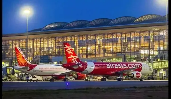
Kempegowda International Airport sits on the north side of Bangalore, about 55 km from Purva Trivante. The drive takes roughly 90 minutes via the Outer Ring Road and Hebbal. It is the farthest of the corridor's transit links, so plan flights with buffer time. Relief may come from the south. A new Hosur International Airport is proposed on about 2,000 acres near Hosur. Once built, it could sharply cut airport travel for this corridor.
Metro Connectivity
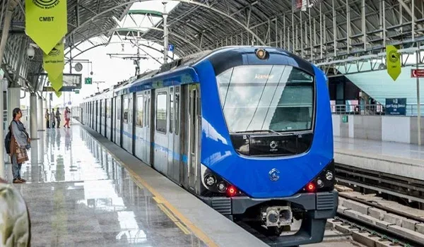
The corridor's own line is the Sarjapura–Hebbal Red Line, Namma Metro's Phase 3A. It runs 37 km with 28 stations, approved in December 2024 and planned for the early 2030s. Its Sarjapura-end stations, near Kada Agrahara Road, are set to sit about 5 km from Purva Trivante — the closest metro the layout will have. Timelines are not firm, so treat the date as a target. Until it opens, the nearest running station is Bommasandra on the Yellow Line, about 16 km away and a 30-minute drive.
Road and Highway Network

Sarjapur–Attibele Road is the primary arterial past the layout. It meets Hosur Road (NH-44) at Attibele, about 10 km away, linking toward Electronic City and Hosur. Two ring projects frame the corridor. The proposed Peripheral Ring Road is a 74 km eight-lane expressway via Sarjapur Road. The Satellite Town Ring Road (STRR, NH-948A) is a 280 km ring joining twelve satellite towns. Sarjapur Road carries on toward the Outer Ring Road and Whitefield.
Rail Connectivity
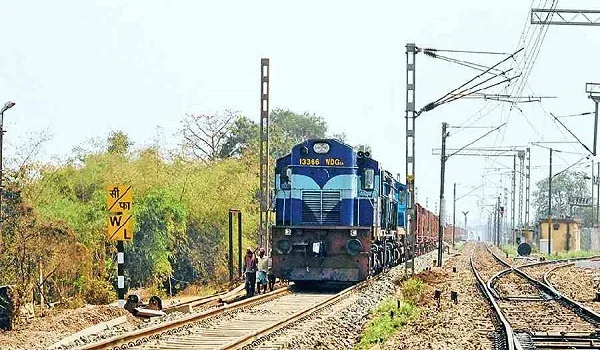
Heelalige railway station, on the Baiyyappanahalli–Hosur line, is the nearest at about 10 km, with suburban and passenger services. Carmelaram station, toward Sarjapur Road, is around 15 km out. Both connect on to KSR Bengaluru City station for mainline trains.
Bus Connectivity
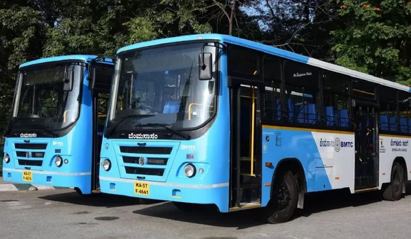
BMTC and private buses run along Sarjapur–Attibele Road through the day. They link the corridor to Attibele, Sarjapur, Electronic City and central Bangalore. Attibele bus stand, about 6 km away, is the nearest large interchange for intercity and Tamil Nadu-bound services.
Nearest Bus Stop
The closest stop is on Sarjapur–Attibele Road at Billapura / S. Medihalli, a short walk from the layout.
Purva Trivante Drive Times at a Glance
| Destination | Distance | Approx. Drive |
| Sarjapura Red Line station (planned) | 5 km | 15 min |
| Attibele (Hosur Road / NH-44) | 10 km | 20 min |
| Sarjapur town | 12 km | 25 min |
| Bommasandra Metro (Yellow Line) | 16 km | 30 min |
| Electronic City | 18 km | 35 min |
| Whitefield | 25 km | 50 min |
| Kempegowda International Airport | 55 km | 90 min |
Places to Visit Near Purva Trivante
The Sarjapur–Attibele belt keeps daily life easy and weekends close. A few spots are within a short drive of the layout.
Kaikondrahalli Lake, Sarjapur Road — about 13 km
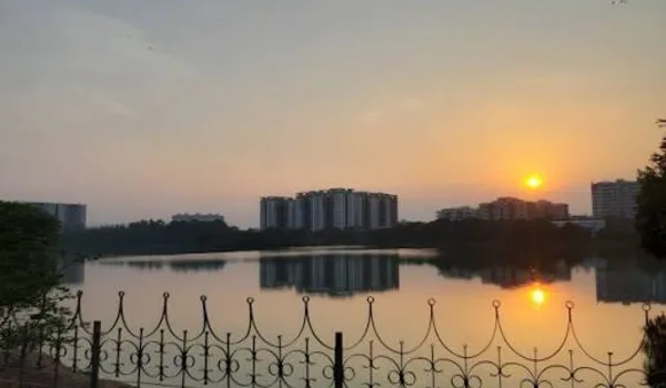
A restored lake with walking paths and birdlife, popular for morning walks and quiet evenings.
Muthyala Maduvu (Pearl Valley), Anekal — about 20 km
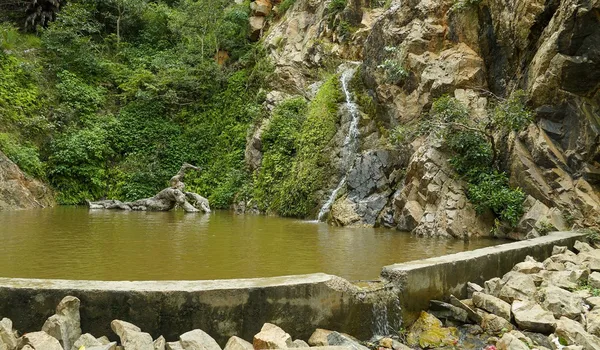
A small waterfall and green valley that makes an easy half-day picnic outing.
Bannerghatta Biological Park — about 30 km
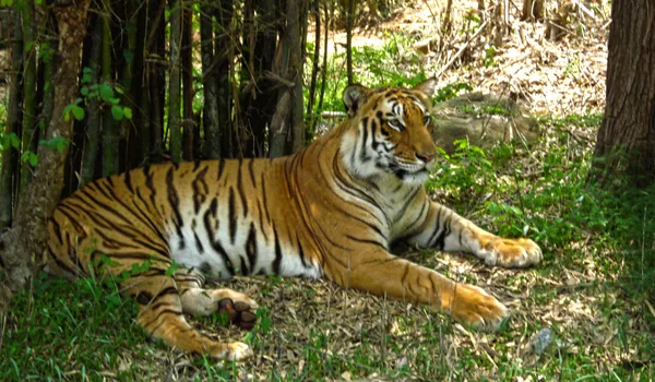
A zoo, safari and butterfly park on the city's southern edge, a favourite family day trip.
Anekal Town — about 8 km
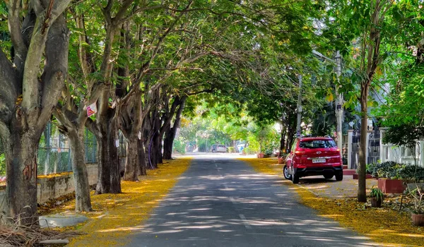
A historic market town with temples and local eateries, useful for everyday errands too.
S. Medihalli: From Farmland to a Fast-Growing Corridor
S. Medihalli was farmland and quiet independent houses not long ago, with little civic infrastructure. It has since become a high-demand address, drawing IT buyers who work at Electronic City and Sarjapur. The wider corridor has seen around 17,100 new homes launched, with gated communities such as Shriram Smrithi and Casagrand Esmeralda now dotting the area. Reputed international schools and hospitals have followed the growth.
Why the Location of Purva Trivante Matters
Sarjapur–Attibele Road has moved from a quiet edge road to one of East Bangalore's fastest-growing corridors. Big projects back that shift — the 280 km Satellite Town Ring Road, the Bangalore–Chennai Expressway, and the proposed Hosur International Airport to the south. Analysts rate the corridor's investment potential highly, while noting that civic infrastructure is still catching up with the housing boom.
Why Buy a Plot on Sarjapur–Attibele Road in 2026
Land here is still priced below the Sarjapur Road core, yet it shares the same growth drivers. Plot prices on the corridor have roughly doubled over the last five years. A ready, gated plot lets you hold land now and build when it suits you — flexibility an apartment does not offer.
Schools & Colleges
| Institution | Distance |
| Indus International School | 1.7 km |
| St. Philomena's English School | 3.3 km |
| Azim Premji University | 3.5 km |
| International School of Management Excellence | 8 km |
| Oakridge International School | 9.3 km |
| The International School Bangalore | 9.7 km |
| Greenwood High – Sarjapur | 10.9 km |
| GIG International School | 12.5 km |
| Delhi Public School, Bangalore East | 12.5 km |
Employment Hubs
| Employment Hub | Distance |
| Infosys Head Quarters | 2.2 km |
| Sabic Technology Center | 3.2 km |
| Schneider Electric | 11.1 km |
| Attibele Industrial Area | 12 km |
| Wipro Limited – SEZ | 13.3 km |
| IndiQube The Fore | 13.7 km |
| RGA Techpark | 15.1 km |
| Bommasandra Industrial Area | 19.7 km |
| Pritech Park SEZ | 21 km |
Shopping & Recreation
| Shopping & Recreation | Distance |
| Pai International | 4 km |
| D Mart | 4.8 km |
| Reliance Trends | 6.4 km |
| Natura Walk | 6.9 km |
| Challenger's Badminton Academy | 7 km |
| Lakshyan Academy of Sports | 10 km |
| Red Riders Go-karting | 13 km |
| Decathlon Sarjapura | 14 km |
Healthcare
| Healthcare | Distance |
| Sri Venkateshwara Hospital | 6 km |
| Kalppa Virusha Hospital | 7.4 km |
| The Oxford Medical College & Hospital | 10.4 km |
| Sri Sai Hospitals | 11 km |
| Belenus Champion Hospital | 13.9 km |
| Mazumdar Shaw Medical Center | 16.9 km |
| Narayana Institute of Cardiac Sciences | 17 km |
| Manipal Hospital Sarjapur Road | 19.2 km |
*Distances are indicative and drawn from listing data — verify in Google Maps. The airport, metro and ring-road links are farther out or still under development, not operational at the site today.
Frequently Asked Questions
1. Where exactly is the project sited?
The site is at S. Medihalli, near Sarjapura–Attibele Road, Billapura, Bangalore, Karnataka 562125, in East Bangalore. It is close to Indus International School (1.7 km) and the Infosys campus belt, and is geo-tagged at 12.8321° N, 77.7942° E.
2. How far are the Infosys campus and the tech belt?
The Infosys headquarters is about 2.2 km away, and Infosys has acquired 365 acres nearby on Sarjapur–Attibele Road — a five-minute drive. Sabic Technology Center (3.2 km), Wipro's SEZ (13.3 km) and the Attibele Industrial Area (12 km) anchor the wider employment belt. Kempegowda International Airport is farther out, on the north side of the city.
3. How close is the nearest metro station?
The Sarjapura–Hebbal Red Line (Namma Metro Phase 3A) is planned to serve this corridor. A station near Kada Agrahara Road would sit about 5 km away, with a target opening in the early 2030s. Until it opens, the nearest running metro is Bommasandra on the Yellow Line, roughly 16 km away. Verify metro timelines against BMRCL.
4. Which employment hubs are within easy reach?
The Infosys headquarters (2.2 km) and Sabic Technology Center (3.2 km) are the closest anchors, with Wipro's SEZ (13.3 km), the Attibele Industrial Area (12 km), IndiQube The Fore (13.7 km) and RGA Techpark (15.1 km) across the wider belt.
5. What is the current RERA and possession outlook?
Purva Trivante's K-RERA registration is currently in process (status: Applied). Proposed possession is from June 2028. The K-RERA registration is the legally binding source — verify the current status at rera.karnataka.gov.in.
6. Is this a sound investment location for 2026 entrants?
Purva Trivante offers residential plots from about ₹1.14 Cr at an indicative ₹9,500 per sq.ft. Plot prices along Sarjapur–Attibele Road have risen roughly 100% over the last five years, and East Bangalore has averaged about 11% appreciation a year over the last three (99acres, PropEquity, as cited). The K-RERA registration is the legally binding source — verify at rera.karnataka.gov.in.
Explore Purva Trivante